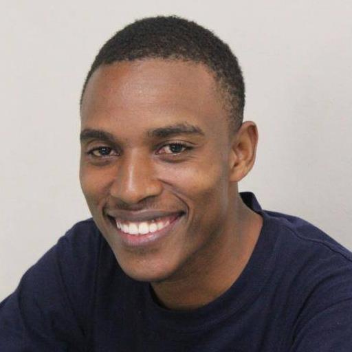
My story.
Here I share my mapping story and things I have learnt in the osgeo space. It is a journey I have enjoyed and would love to share with the world. In my mapping adventure I have travelled to interesting places, I have met incredible people, and learnt a lot. But all of it would go to waste if I dont share it. Enjoy!
Discovering OpenStreetMap
My OpenStreetMap story starts on Friday 15th June 2012 when I participated in a mapping challenge organised by Fruits of Thought an NGO based in Muyenga a Suburb of Kampala. Here I met Douglas, Kim and Ketty who introduced me to OpenStreetMap, the free editable map of the world. I fell in love with it from the word go, thanks to my teachers. It was my first of the many to follow Mapping Days which involved moving around with GPS units, and Walking Papers collecting data then editing the map using Potlach an online editor that was the most popular by then. The half day event, was followed by 3 weeks of remote mapping which were used to determine the best three.
The Mapping Road Trip
The top three winners of the Mapping Challenge were to go for a road trip around Uganda. I love travelling and this was my chance to discover more of my beautiful country Uganda. But this wasn't any ordinary road trip, our task was to map with 5 Universities from all over Uganda. From Uganda Christian University Mbale, to Gulu University, to Uganda Pentecostal University Fortportal, to Mbarara University of Science and Technolgy ending with Uganda Martyrs University Nkozi. It was a trip full of adventure, with Ketty, Douglas and Julius we shared a lot of fun moments. In the two weeks that the trip lasted, I evolved from an OpenStreetMap beginner to Intermediate to a Trainer, learning and discovering more tools and OSM use cases.
The journey so far
With the experience from the road trip I was now an active member of OpenStreetMap and the OpenSource community in Uganda, discouvering more about Linux, Wikipedia and Wikimedia, Open Data, Quantum GIS, Tile Mill, Crisis Mappers and the Humanitarian OpenStreetMap Team
In 2013 I met a one Steve Bukulu who was as enthusiastic about OpenStreetMap as me. Together with Douglas in September the same year, we did another road trip this time with a mission to Map Eastern Uganda, we had Mapping Day events at five Universties who were also engaged in a mapping challenge. The top 3 from each of the of the following universities Kumi, UCU Mbale, Cavendish Tororo, MUBs Jinja and MUK Jinja were selected for a one week training in January 2014 in Mbale
Joining HOT
As I continued mapping and training more people on how to edit the OpenStreetMap, I got more interested in how the data is used. The Humanitarian OpenStreetMap Team is a community of OpenStreetMap users who respond to disaster and crisis by providing free uptodate maps to relief organisations. Apart from creating map data for Uganda, volunteering for HOT was an opportunity for me to do something useful mapping, where I couldn't give money I could give a map in case of a disaster
Then came the big opportunity, HOT was starting a new project in Dar es Salaam Tanzania and wanted OSM trainers, together with Steve we headed to Dar es Salaam to do the needful. I was star struck meeting Jeff Hack in real person whose tutorials at LearnOSM I had used for a long time learning how to map. I was meant to stay in Dar for only three weeks but then extended my stay for the whole year as Mapping Supervisor for the year long project Ramani Huria
Places reached, Lessons learned
As a result of mapping I have travelled to Dar es Salaam, to New York, to Istanbul, to Kigali. On this blog, I will share most of the important things I have learnt in mapping and GIS that I hope could be of use to any other person.
